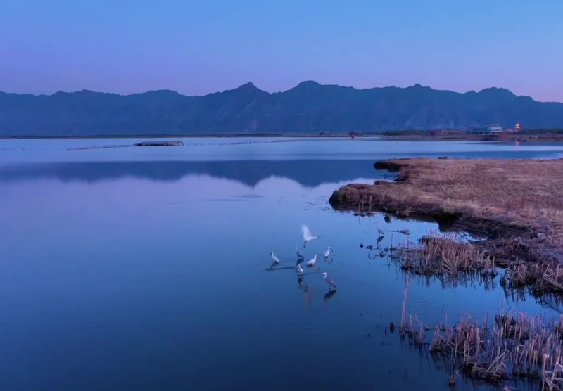
Hasu Sea is the abbreviated form of the Mongolian "Hara Usun Nur" (Harawusu Hai), meaning "Black Water Lake," and is colloquially known as "Houbo'er." It is located on the southern plain of the Daqing Mountains, north of the Yellow River, within the Tumd Left Banner of Hohhot City, Inner Mongolia Autonomous Region, approximately 70 kilometers east of Hohhot's urban area. With the Daqing Mountains to the north and farmland and pastureland surrounding its east, south, and west sides, it is known as the "West Lake Beyond the Great Wall." The lake borders Hasu Township to the east, Hongshakou and Dongjiajiaying Village to the south, Zhijiliang Village to the west, and Qiaopangjiaying and Xinyingzi Villages to the north.
Hasu Sea was originally a body of water left behind on the Tumochuan Plain centuries ago when the Yellow River changed its course, and is therefore also called the "Sea of the Yellow River." In the 1960s, after experiencing repeated droughts and human intervention, the former Houbo'er was replenished by the Yellow River, ultimately forming the natural lake seen today. The lake sits at an average elevation of 988.5 meters. Hasu Sea is spindle-shaped, stretching from southeast to northwest, with a north-south length of 9.5 kilometers and an east-west width of 5.3 kilometers. Its enclosing embankment has a total length of 24.1 kilometers. The water area covers 2,971.5 hectares, of which the open water area is approximately 2,000 hectares. The average water depth is 1.5 meters, reaching 2 to 3 meters in the deeper south-central portion.
In December 1996, the Tumd Left Banner of Hohhot approved the establishment of the Hasu Sea Wetland Nature Reserve. In 2008, the reserve was included in the "Inner Mongolia Autonomous Region Nature Reserve List." In 2011, Hohhot applied for Hasu Sea Wetland Nature Reserve to be designated as a national-level nature reserve.