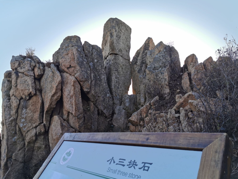
Named after the San kuai shi Mountain (also known as Chimney Mountain), this National 4A-level Forest Park is located in the Hou'an Town of Fushun County, in the southeastern part of Fushun City. It sits at the southern foot of the Laolong Ridge of the Changbai Mountains, with its main peak reaching an altitude of 1,131 meters.
The park borders Muqi Town of Xinbin County to the east, Maquanzi Township of Fushun County to the south, and Shangma Township of Fushun County to the west and north. Geographically, it lies between 124°16′—124°25′ East Longitude and 41°36′—41°45′ North Latitude, approximately 52 kilometers away from Fushun City. The total planned area covers 108.7 square kilometers (10,870 hectares), with forestry land accounting for 10,357.6 hectares and forested land for 9,901.6 hectares, resulting in an impressive forest coverage rate of 92%. The park gained its fame from three massive boulders, each over 50 zhang (a traditional Chinese unit of length) long, standing tall and embracing each other atop the mountain, piercing straight into the clouds.
Renowned as a "Natural Gene Bank of Species" and a "Northern Temperate Rainforest," the park is home to over 40 species of wild edible fungi. It also preserves historical revolutionary sites, such as the anti-Japanese united army's underground shelters and stone rollers. In 2018, it was designated as a Provincial Patriotic Education Base. In December 2024, the San kuai shi Forest Park Ice and Snow Carnival project was launched, alongside the establishment of the San kuai shi Wildlife Rescue Station, which covers an area of 1,650 square meters.